rinconada vegetation plan map
May 2024—CURRENT
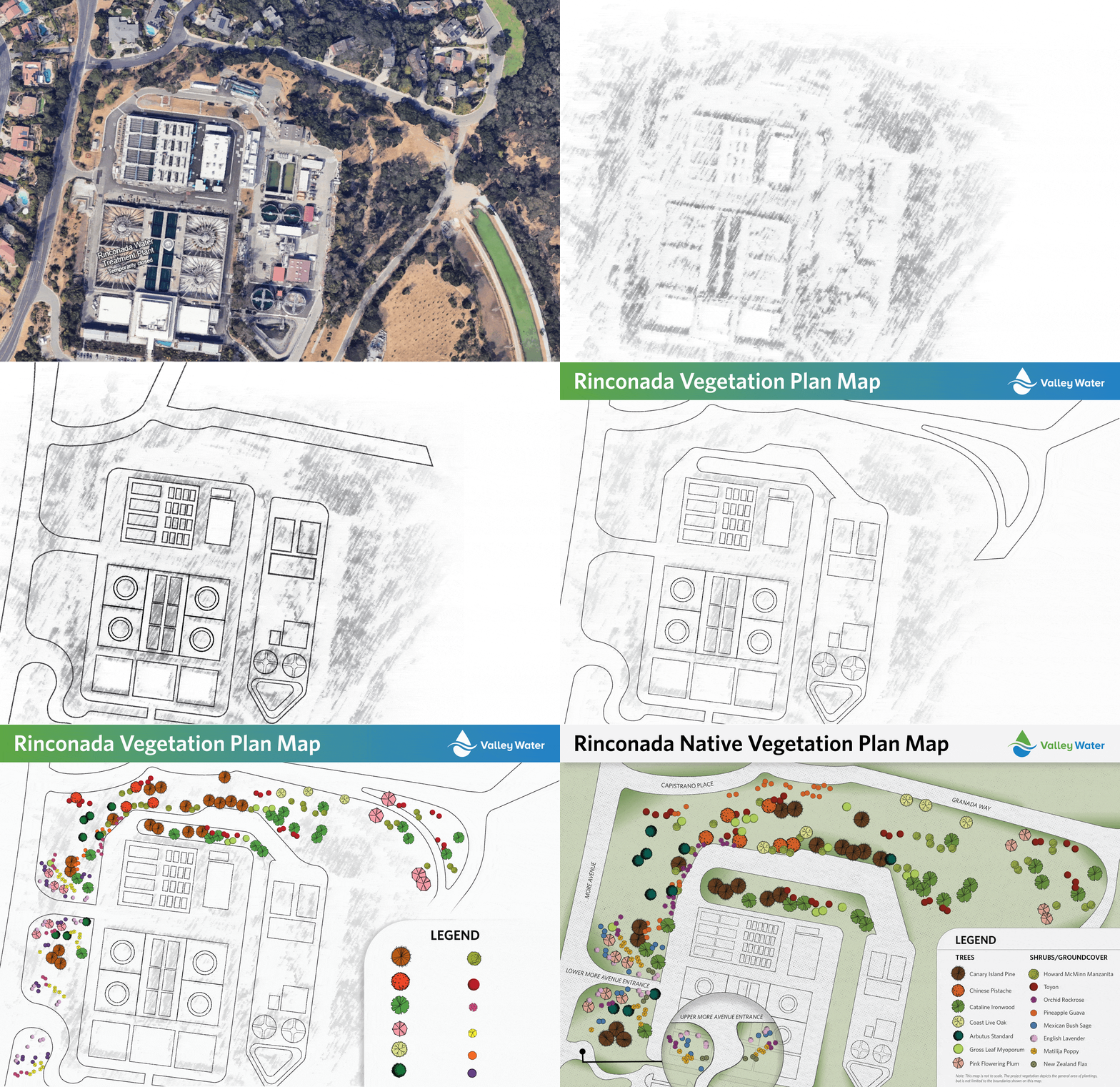
The map for Valley Water illustrates the vegetation plans at the Rinconada Water Treatment Plant. This data visualization was designed for the Rinconada Public Meeting and community distribution, as it works to clarify the original engineering map for accessible public understanding.


The photo of the Rinconada Treatment Plant was converted into a sketch (not to scale) to emphasize vegetation display.

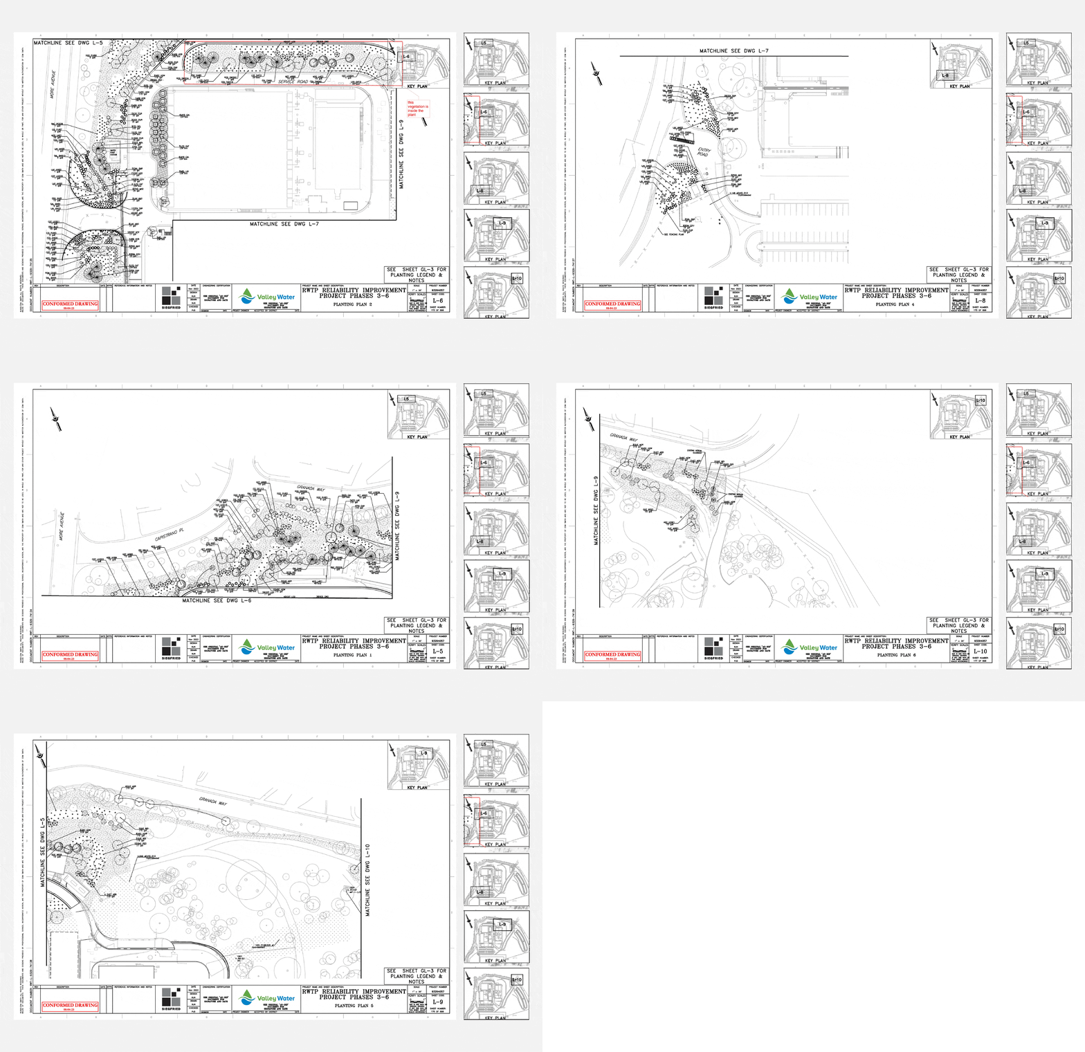
The original engineering map consisted of multiple pages, each highlighting vegetation in different regions of the Rinconada Plant. These pages were consolidated into a single, comprehensive map.

The original map divides the vegetation into multiple pages by region. The consolidated map allows all regions to be reviewed on a single page as marked for reference.

The original map's legend was translated to a new legend. Yellow highlights indicate vegetation that could be considered for the map, while red highlights represent the vegetation included, based on density.

